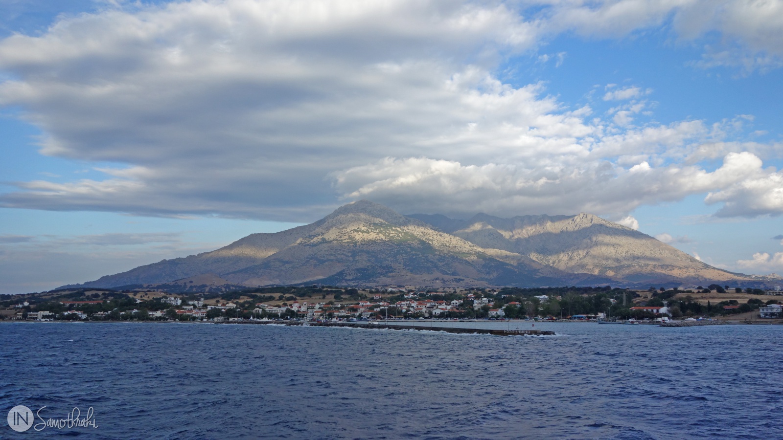
It is often said that Samothrace is not an island, but a mountain which rises directly from the sea. And it's quite right – with the 1614 meters height of the Marmaras peak, it's the third highest island in the Aegean Sea, after Crete and Evia.
The name of the mountain is Saos and means "saviour". According to the mythology, its heights saved once the people during the Dardanos flood. It is also called Feggari, that is "the moon" - because they say it is so tall that it could cover the moon.
In its Iliad, Homer tells how the god Poseidon used to watch the Trojan war from the peak of the wooded mountain.
"...But the lord,
the Shaker of Earth, kept no blind watch,
for he sat marvelling at the war and the battle,
high on the topmost peak of wooded Samothrace,
for from thence all Ida was plain to see;
and plain to see were the city of Priam, and the ships of the Achaeans."
(Book 13, The Iliad - Homer)
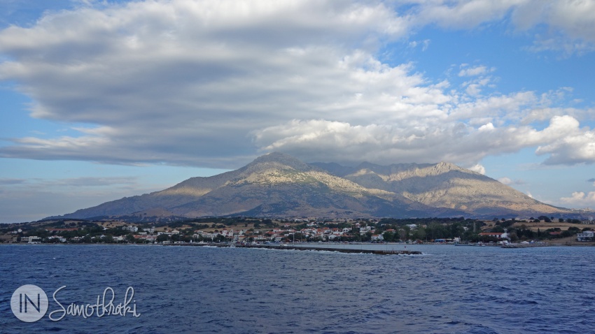
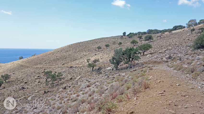
Saos appears as a huge granite pyramid, with its peak often covered in clouds. It forms the biggest part of the island, it influences the microclimate and it dictates the settlement location and the way of life of the inhabitants.
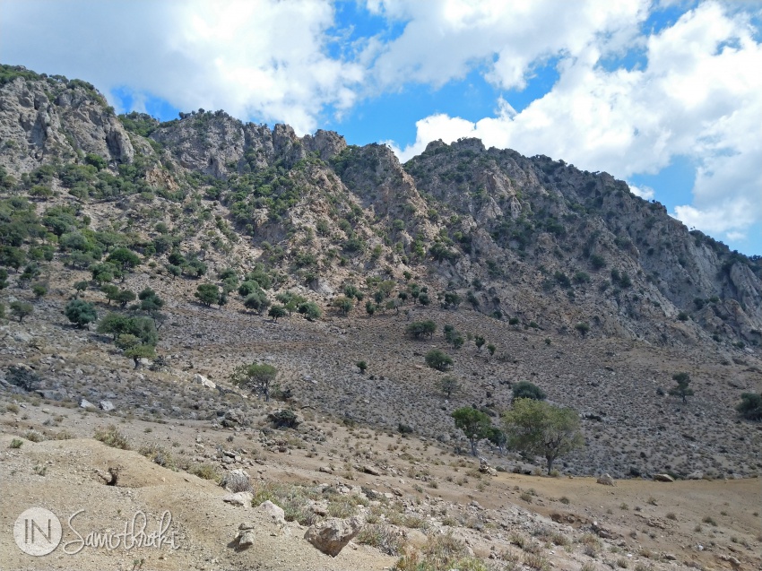
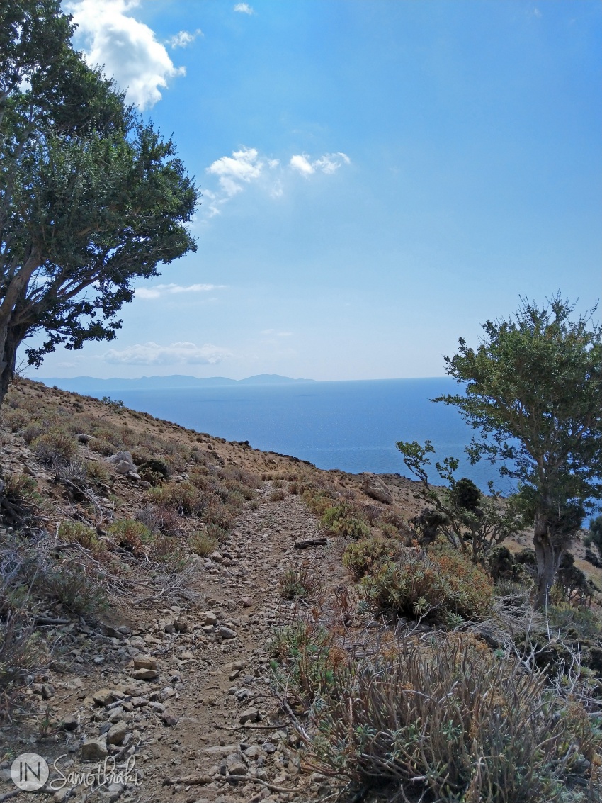
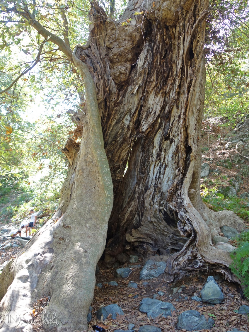
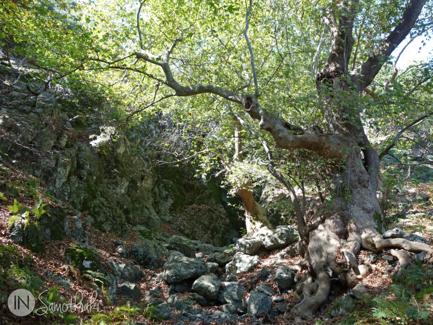
If you like trekking and hiking, than Samothrace is your island. The mountain, the rich vegetation, with oak and plane trees, the wild nature characterize the island better than the beaches.
The trails have various difficulty degrees, but unfortunately they are not very well marked. Be careful to take water and adequate clothing and shoes. Very often there is wind or cold up on the moutain. Some trails require attention, as they have steep slopes and slippery rocks. A good idea is to take with you an experimented guide, especially if you don't know the path. Also be careful at the storms with lightening and thunders which can leave off the peak.
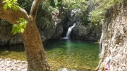
The most popular trails are the easy ones, which reach the first vathres of the Fonias, Gria Vathra and Tsivdogiannis rivers. The Fonias trail begins from the parking near the bridge on the river with the same name, while the Tsivodgianni and Gria Vathra trails begin from Therma. If you go to see the vathres take the swimming suit with you!
A longer and quite difficult trail is the one which climbs from Therma to Marmaras peak, at 1614 meters. It lasts about 11 hours back and forth, but is worth the effort.
Tip
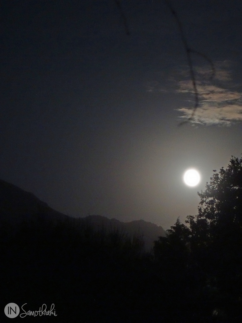
Every year, on the August full moon, the Feggari Climbing Association organizes a hike on the peak and the participants spend their night up on the mountain, in order to fully enjoy the moon light.
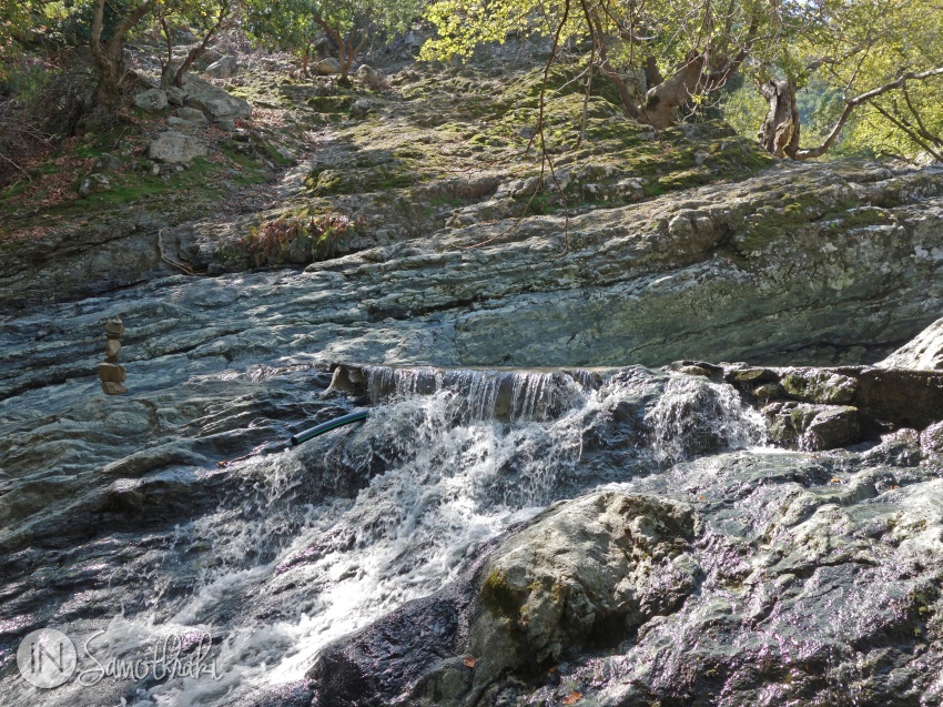

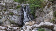 Waterfall hikes
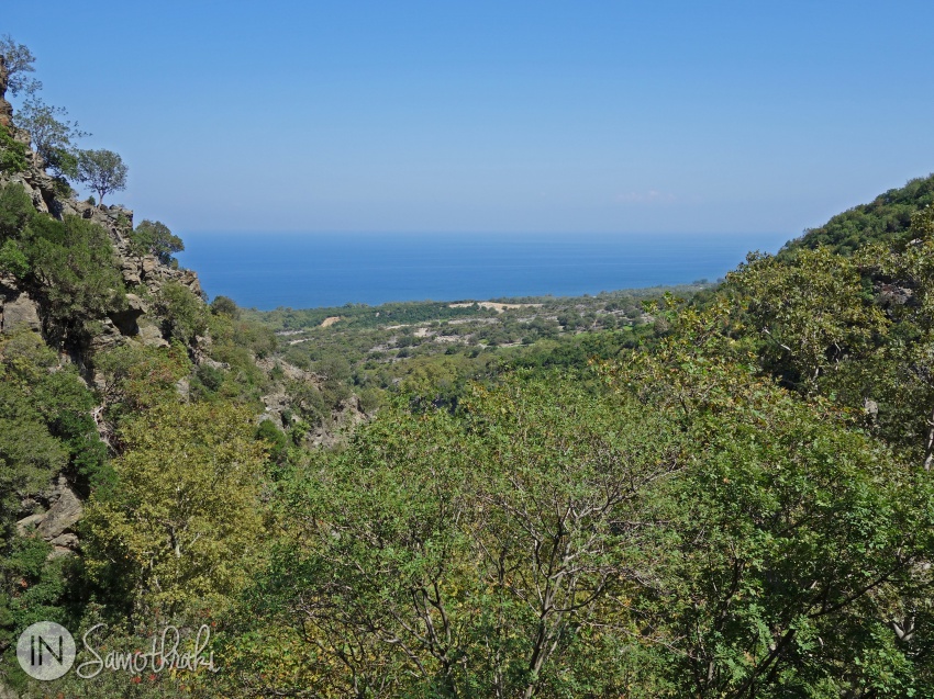
 Hiking up the Fonias river
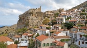 Chora, the perched capital of Samothraki
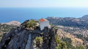 Panagia Krimniotissa, the church on the rock
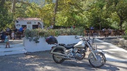 Therma - between the mountain and the sea